Guide de voyage: Hopton-on-Sea 2026
Hopton-on-Sea : idées de séjour, infos pratiques et culturelles

Découvrez cette destination : Hopton-on-Sea

Dunston Hall Hotel, Spa and Golf Resort
"Le lieu est absolument magnifique, la propriété, le parc, les arbres. En revanche les lieux de restauration ont clairement besoin d'un manager. Malgré le nombre conséquent de personnel, le petit déjeuner n'était pas régulièrement fourni. Les employés sont cachés à droite à gauche, occupés à plier ..."
Avis laissé le 27 oct. 2024

Sprowston Manor Hotel, Spa & Golf

The Maids Head Hotel
"Qualite du service Emplacement"
Avis laissé le 24 nov. 2025

Wellington Apartments
"Highly recommend, lovely room, good price, helpful staff"
Avis laissé le 19 juin 2026

Chalet accueillant, jumelé, 2 chambres à California Sands près de Norfolk Broads
"Would have liked a bedside light as I” like to read in bed also,some instructions for the cooker. Bed was comfortable , we had an enjoyable stay and would book again."
Avis laissé le 14 juin 2026

OYO Studiotel Great Yarmouth - Modern Hotel Apartments
"Près de la plage, petit quartier paisible et silencieux, pour ce qui est du studio en lui même très spacieux matelas confortable petit canape"
Avis laissé le 3 févr. 2023
Les endroits populaires à visiter

Zoo Thrigby Hall Thrigby Hall Wildlife Gardens
Vous séjournez à Mautby ? Découvrez Zoo Thrigby Hall Thrigby Hall Wildlife Gardens et éclatez-vous au cœur de ses espaces verts lors d'activités en plein air. Rendez-vous auprès de cet endroit reposant et offrez-vous une balade revigorante le long de son bord de mer ou laissez-vous tenter par ses restaurants.
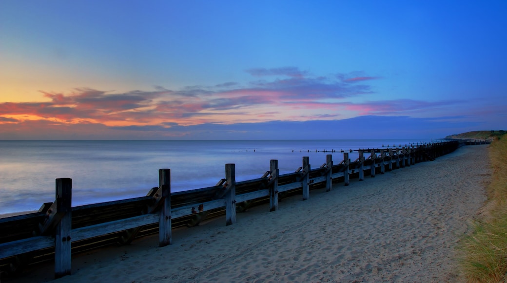
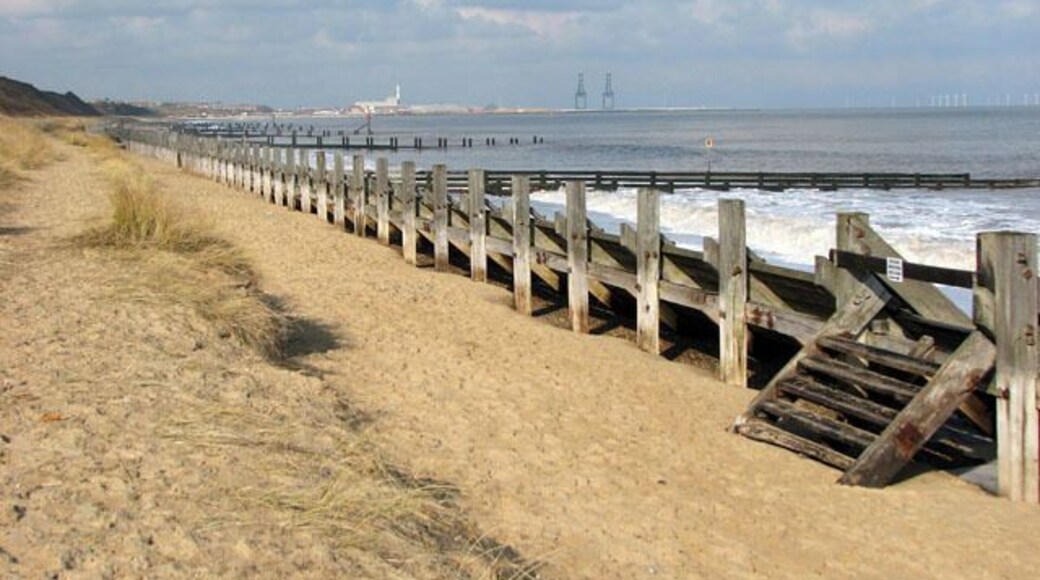
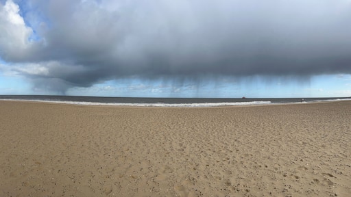
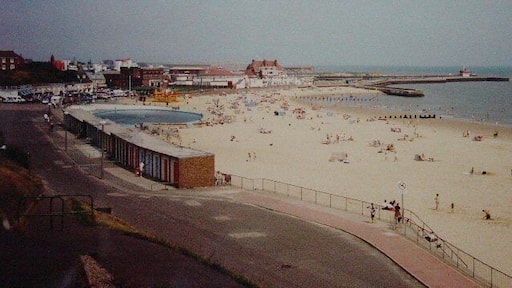
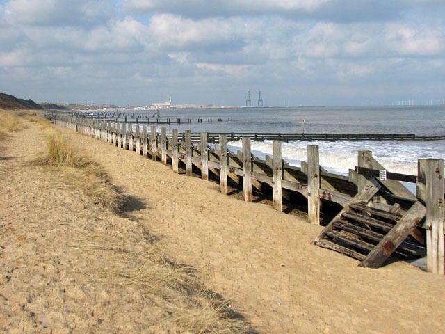
Plage de Great Yarmouth
Envie d'un séjour 100 % détente ? Great Yarmouth abrite juste ce qu'il vous faut : Plage de Great Yarmouth !Offrez-vous un séjour 100 % détente dans cette région et accordez-vous une balade le long de son bord de mer.
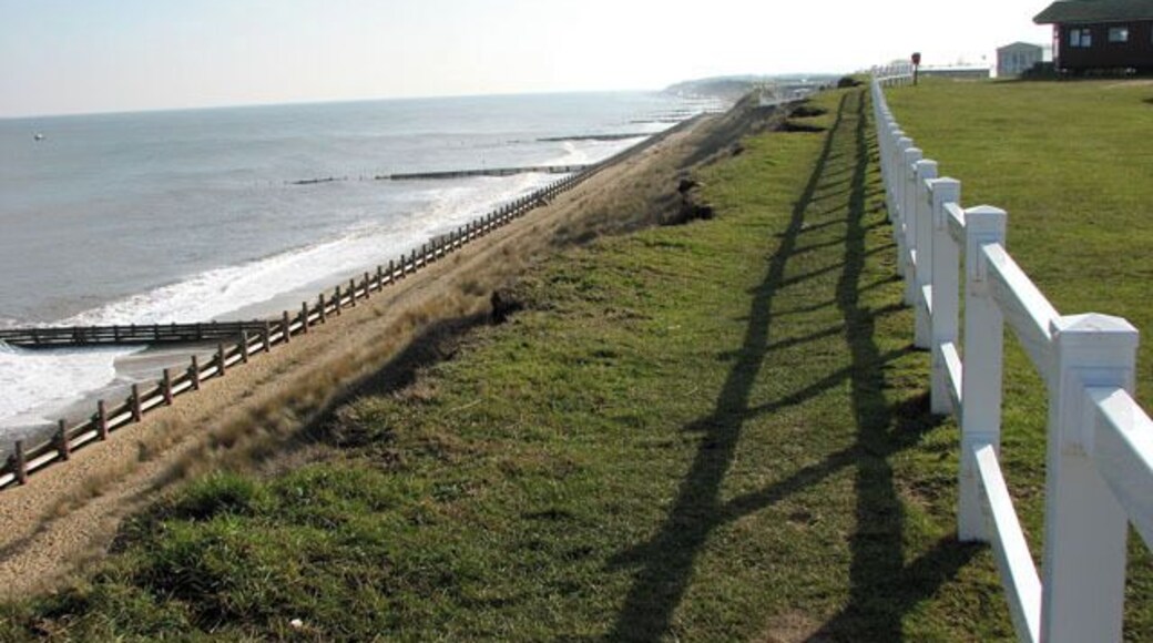
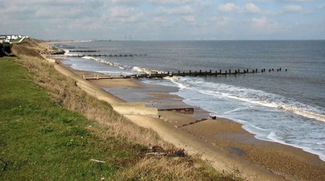
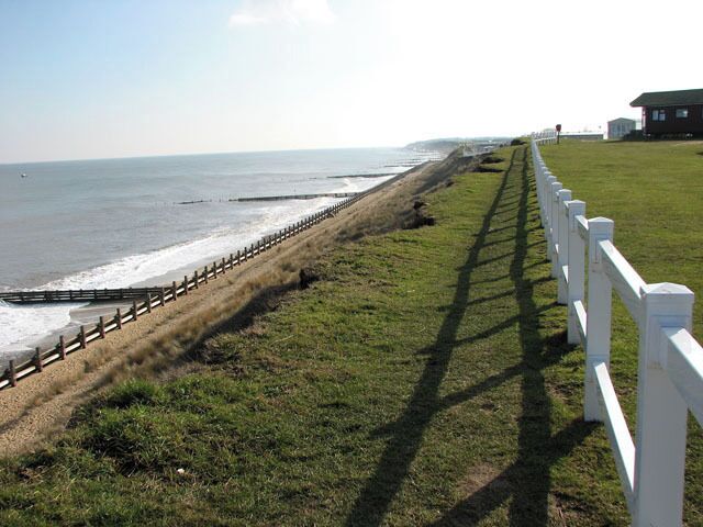
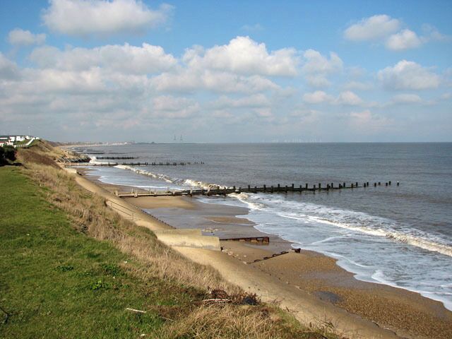
Plage de Gorleston
Envie d'un séjour 100 % détente ? Great Yarmouth abrite juste ce qu'il vous faut : Plage de Gorleston !Offrez-vous un séjour 100 % détente dans cette région et accordez-vous une balade le long de son bord de mer.
Théâtre Britannia Pier
Vous pourrez acheter vos billets pour une représentation à Théâtre Britannia Pier lors de votre voyage à Great Yarmouth. Cette destination très riche culturellement vous surprendra par la beauté de ses plages et de son bord de mer.
Parc de loisirs The Pleasure Beach
Emmenez votre tribu à Parc de loisirs The Pleasure Beach et amusez-vous sans compter dans ce parc d'attractions à Great Yarmouth. Cette destination très riche culturellement vous surprendra par la beauté de ses plages et de son bord de mer.
Stade de course de lévriers Yarmouth Stadium
Profitez de votre séjour à Caister Ouest pour assister à un événement particulier lors d'un détour par Stade de course de lévriers Yarmouth Stadium. Cette région est réputée pour ses plages et son bord de mer.
Explorez un monde de voyages avec Expedia
- Belton : Complexes hôteliers
- Blofield : Chambres d’hôtes
- Blofield : hôtels
- Blofield : Complexes hôteliers
- Brampton : hôtels Hôtels pas chers
- Brundall : Complexes hôteliers
- Bungay : hôtels
- California : Appart’hôtels
- California : Auberges
- California : Chambres d’hôtes
- California : Maison d’hôtes
- California : hôtels Hôtels avec piscine
- California : hôtels Hôtels de luxe
- California : hôtels Hôtels pas chers
- California : hôtels
- California : Maisons de ville
- California : Motels
- California : Résidences de vacances
- Gorleston-On-Sea : Maisons de ville
- Hales : hôtels
- Halvergate : Appart’hôtels
- Martham : hôtels Hôtels pas chers
- Martham : hôtels
- Martham : Motels
- Martham : Complexes hôteliers
- Parc à thème Pettitts Animal Adventure Park : hôtels à proximité
- Reydon : Chambres d’hôtes
- Reydon : hôtels Hôtels de luxe
- Reydon : hôtels
- Reydon : Complexes hôteliers
- Wrentham : Chambres d’hôtes

